Massasauga Provincial Park: Then & Now
Outdoor adventurer and writer Martin Lortz revisits the park that impressed him so much over twenty years ago.
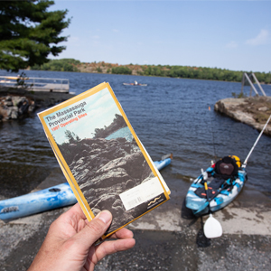 Wow – 1997! I knew I had a map of Massasauga Provincial Park that I purchased on my last visit, but dang, hard to believe it’s been this long! That’s the same year this Ontario gem became operational.
I can still remember paddling the park’s striking landscape of windswept pines, smooth granite rocks, towering cliffs, narrow bays and inlets as if it were yesterday. Now, two decades later, it’s good to be back, and this time in the company of my eldest offspring who, at 19-years-old, is still younger than the map we are about to follow.
Massasauga means “mouth of the river” in the Ojibwe language. The park also shares its name with one of the area’s elusive and protected residents, the Massasauga Rattlesnake.
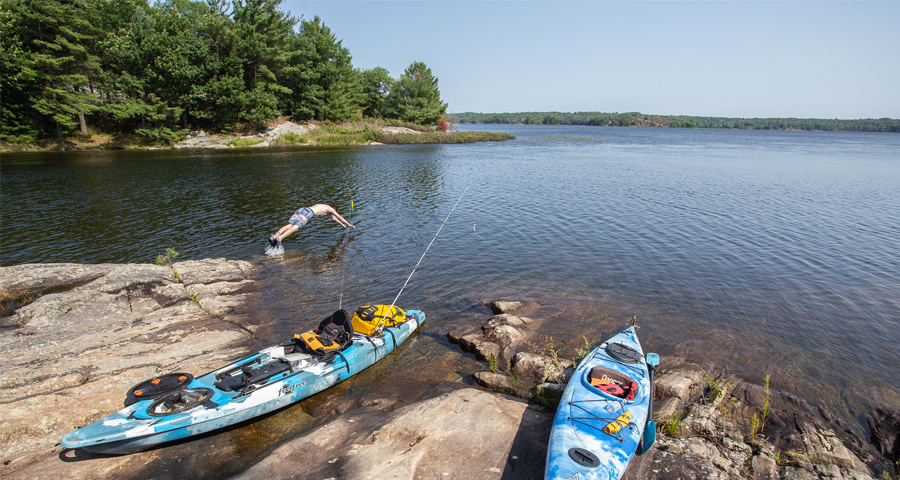
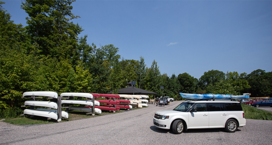
Stretching from the town of Parry Sound south to the Moon River, the park’s 135 campsites dot hundreds of islands on the coast of Georgian Bay and on inland lakes. The sites on the bay are a sea kayaker’s dream and can also be reached by motor boat, whereas those on the inland lakes often require portaging and are best suited for canoes or kayaks. Much has changed at Pete’s Place access point from the dock at the end of a dirt road from what I remember; now you are welcomed with a park office building, new parking lot and stacks of canoes for rent.
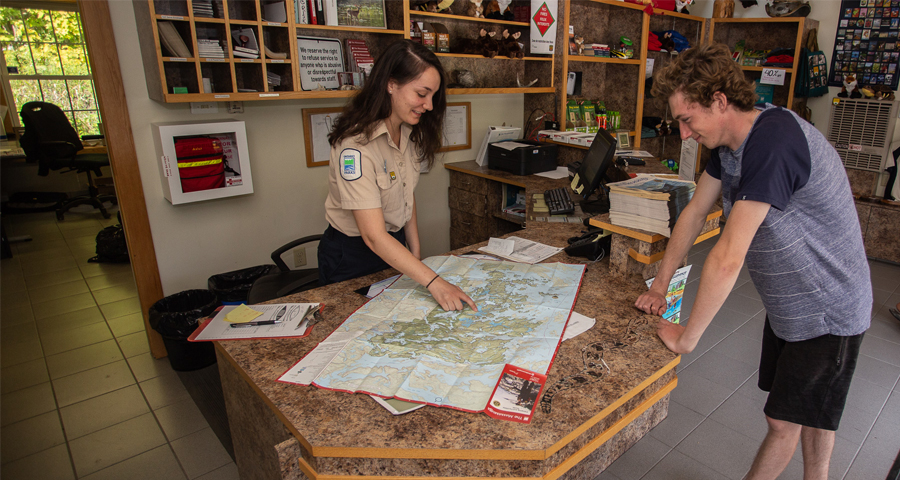
After a quick chat with the park staff, we picked up our permits, loaded the kayaks and with map in hands pushed off into a stiff breeze and choppy waves. The first leg of our planned route was easy; we could see the markers for the channel from the dock and, once through it, Woods Bay expanded the vista – and the navigating challenge.
Our destination across the bay was Captain Allan Strait, a narrow channel that is the gateway to Georgian Bay. The map shows two entrances, one much closer than the other. We aimed for the closest but ended up at the other, proving our attempt to navigate by map and visual clues was more luck than skill. (Fortunately the phone and Google Maps provided a dependable backup.)
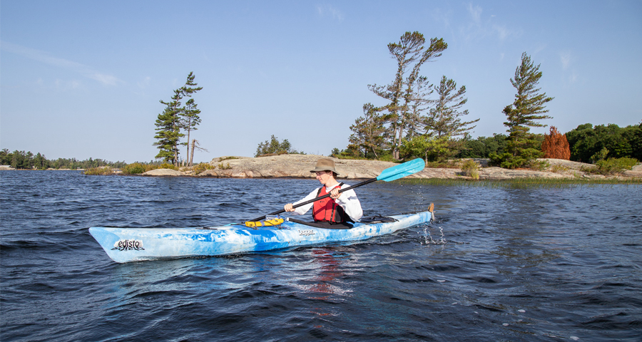
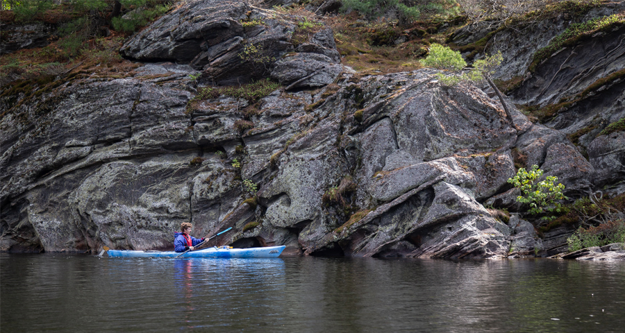
Leaving the protected cocoon of Captain Allan Strait, Moon Bay greeted us with the grandeur of land and water, and again, wind in our faces. Islands were all along our path, showcasing the classic Georgian Bay landscape of rock and pine, shaped by waves, wind and time. The lean of the windswept trees atop the rocky shores showed that the headwind we were battling is the norm, not the exception. Time is definitely in no hurry here, and with each stroke of the paddle forward I felt like I was back in 1997.
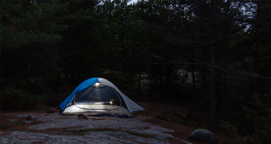
The only difference between my old map and the updated version (besides the nice water proof finish) are the campsites. Over the years campsite locations throughout the park have come and gone, but amazingly our site selection for the night is still as it was over 20 years ago. Tucked away at the back end of a sheltered bay on an island a long way from anywhere, we set up camp, ate, talked, and relaxed as the wind died down, the sun set and the lights went out.
Morning brought the serenity of silence and glass-calm water, the kind of experience that burns into your memory and stokes your desire to return. Enjoy it while you can, because soon the wind will ruffle that reflection and the silence will be broken by the roar of the camping stove and the rumble of a percolator full of morning coffee.
Originally our plan for the duration of this trip was two nights and three days but a major storm swept in for day one, relinquishing our plans to a quick over-nighter. In no rush to head back, we lingered as long as we could.
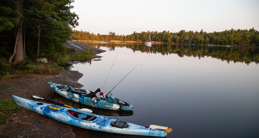
With the wind at our backs and navigation no longer a concern, we retraced our way back. Still in no hurry, we stopped for lunch, a swim and a few casts into the weeds hoping to hook a big one ( unfortunately no luck here). As the grand landscape of Georgian Bay funnels down towards Pete’s Place, so does human interaction. Canoes, kayaks and boats race for the dock, and the congestion is a stark contrast to the solitude of the back country.
Despite its short duration, I’m so glad we made trip back after all these years. Getting to share the experience with my son on his first back country adventure, following a map from two decades ago into a land that hasn’t changed much in all this time? Well, awesome is all I can say. Be it twenty years or a couple of weeks, The Massasauga Provincial Park is definitely worth the wait.
Some Tips from Martin:
– Reservations are a must.
– All campsite reservations are restricted to one vehicle only.
– Navigation: map and compass work if you know how to use them. We had cell service during this trip but service is not guaranteed the further you venture into the park. A GPS might be the best bet just make sure you have a power source that will last the duration of the trip.
– This is bear country, some sites have steel food lockers. Check with the park office if the sites you are booking have a food locker, if not be prepared to hang you food.
– When venturing out on to the Georgian Bay wind and waves can be a challenge; be sure you know what you’re doing and always wear a PFD (life jacket).
To plan your stay at Massasauga Provincial Park, click here. To visit the Parry Sound region, click here.
 Guest Blogger: Martin Lortz
Martin is a freelance photographer and writer specializing in the outdoor lifestyle. Whether he is covering power sports or family-oriented pursuits, his passion for capturing the beauty of nature and the people who partake in it is evident in his work. His photos and articles have appeared in magazines such as Ski Canada, Explore, Bike, Mountain Life, Snow Goer,Kayak Angler, and Family Camping.
All photos @MartinLortz
![]()