
Family Paddling on the Pickerel River with Kevin Callan
The ‘Happy Camper’ himself heads to the Pickerel River and Noganosh Lake where he re-discovers a lesser known paddler’s paradise with his ‘savvy camper’ daughter.
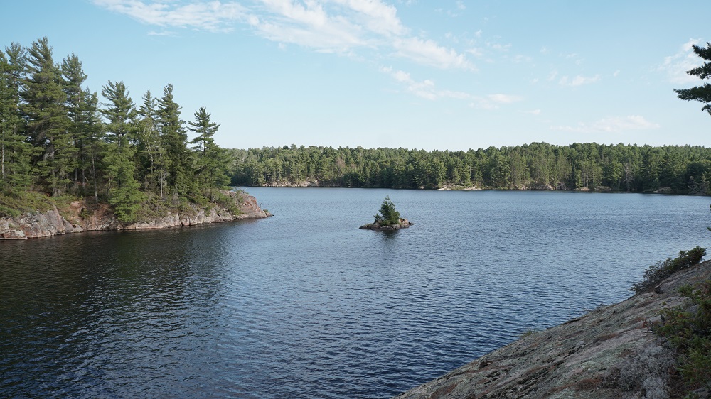
I recently came back from introducing my 12-year-old daughter to one of my favourite places to paddle – Noganosh Lake Provincial Park. The protected area – measuring over 3000 hectares – was formed in 2003. I’ve been canoe tripping here long before that, however. It’s always offered a perfect place to paddle, camp, fish and escape the more busier areas like Algonquin to the east, Georgian Bay to the west, and the French River to the north.
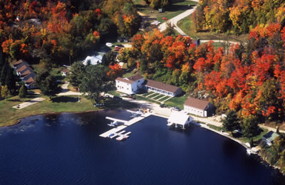
There are four main ways to a access Noganosh: two public launches (Ess Narrows on the northeast side of Highway 522, 21 kilometres west the town of Loring, and Fleming Landing, off of Highway 522 on Birchwood Trail Rd, 14 kilometres west of Loring). Tornado’s Canadian Resort or Pine Grove Resort are my preferred options, however. They’re just east of Fleming Landing and west of Loring and for a small fee each property provides a more secure place to park your vehicle. They’re also nice places to spend a night before or after your trip. At Tornados (pictured here) you can even book a bush plane into Noganosh or countless other lakes in the area!
Accessing from the west, you paddle Dollars Lake and Kawigamong Lake (named after the steamboat that worked the area lakes in the early 1900s). There are cottages dotting the shoreline but a narrow channel on the north side of Cincinnati Island provides isolation and a few prime Crown land campsites. If you’re accessing from the east, the paddle to the series of portages into Noganosh is shorter, using the section of the Pickerel River, which is simply an extension of Kawigamong Lake. Either way, you head south at the eastern tip of Long Island, using three short portages along Smokey Creek.
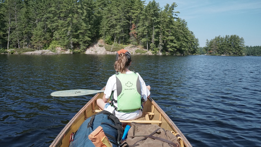
My daughter enjoyed the area, counting 64 frogs basking in the sun on top the mats of lily pads (counting frogs is the norm for her). Our canoe trip together was her birthday gift. It’s what she asked for, turning twelve. Kyla has been canoe tripping since she was six-months-old and she’s adapted to carrying a heavy pack on the portage and paddling against a headwind. She’s also built a repertoire of camp songs, jokes and stories to keep things fun out there!
 The first portages is a flat 200-meter trail beginning between Smokey Creek Hunt Camp and the creek itself. It avoids a gigantic beaver dam that keeps the water level up on Smokey Creek, making it navigable throughout the season. The two kilometre paddle to the next portage, a steep 75-meter path left of another large beaver dam, is a long one. The creek twists and turns along the way, adding twice the distance to paddle.

Another weed-choked passageway needs to be paddled before reaching the last portage. It’s a shorter distance, however, and you can see the take-out from the put-in on the second portage.
The trail is the longest en route – measuring just over 300 meters – but it’s flat and straightforward. Along the way there’s an old wooden plaque nailed to an stout white pine, commemorating a local hunter who was killed in the area.
“Chas Almass Woods
In Memory of Him
Died Dec. 8th. 1951
A Good Hunter A True Sportsman”
A side path to the right, crossing the creek, also takes you up a hill and to the remains of old dilapidated pickup. This was once a busy place, mostly due to sportsmen setting up camps and harvesting the Loring deer herd, one of the biggest in Ontario.
After the last portage, the creek runs south and then west, opening up into Smokey Lake. Tornado’s Canadian Resort has a fly-in camp here and Kyla enjoyed watching one of their bush planes take off from the lake to then buzz the sky above us.
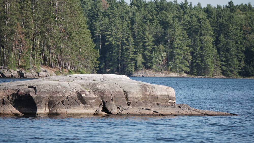
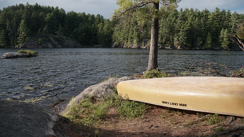
Our first camp was made on a quiet bay on the southeast corner of Smokey Lake, a nob of granite crowned with good-sized white and red pine. More frogs were caught before dinner and Kyla took a refreshing swim before we made our traditional S’mores on the campfire. In less than half-a-day’s paddle we reached an Algonquin-like landscape, complete with loons wailing away at dusk and a pack of wolves howling in the distance just before dawn. The best part, of course, is that we needed no reservations. Noganosh is an unmaintained provincial park – which basically means it’s a free place to explore. What a bonus!
My daughter and I spent an entire week paddling and camping on the four other lakes that connect to Smokey (Noganosh, Last Lake, John Lake and Mud Lake). All as beautiful as the Smokey, and all populated with trophy pike and feisty bass. There’s so much open water to explore here, and so much appealing islands and outcrops to camp on. It’s even possible to extend your trip by taking bush portages to the southeast into Island Lake (a complete oasis on its own) or south of Noganosh and into the entire Magnetewan River system. There’s even a short paddle route using the Pickerel and Wolf Rivers to the north of where we accessed by Loring.
The possibilities for seasoned paddlers are endless amongst the wilds of the Loring-Restoule region, and the rewards are even greater. And now we know – it’s great for families too.
To plan your stay in the Loring-Restoule region, click here.
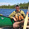
Guest Blogger: Kevin Callan
Kevin Callan is the leading author of books on canoeing in Ontario, including the bestselling “A Paddler’s Guide” series and The Happy Camper. He is a contributor to outdoors magazines and a popular speaker at North America’s largest paddling events. He lives in Peterborough, Ontario.
Photos copyright Kevin Callan.
Always wear your PFD when paddling the waterways of the great Canadian wilderness.
